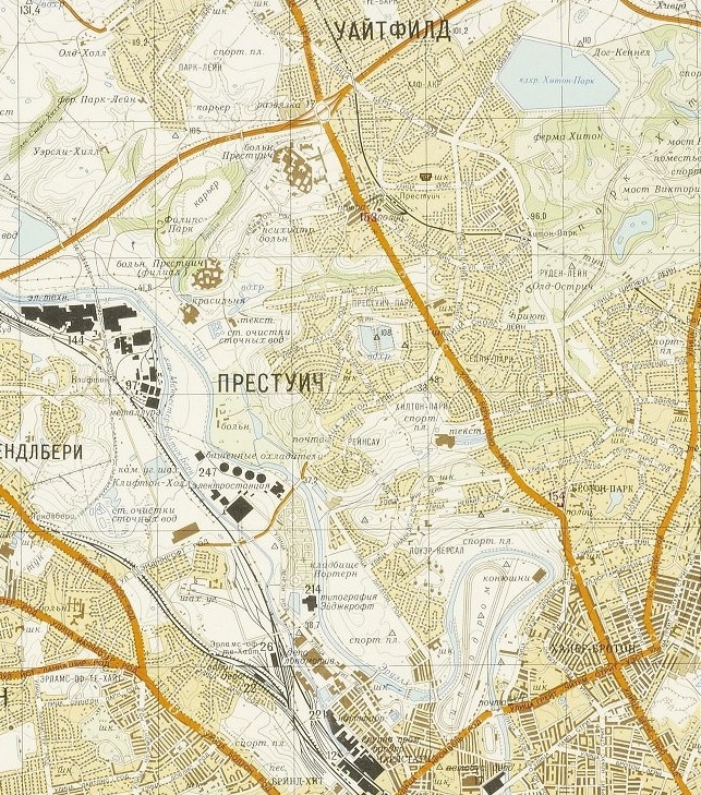
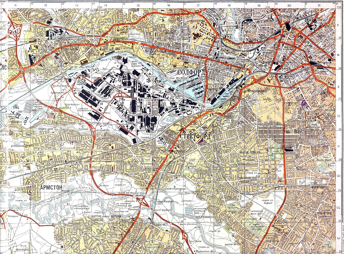
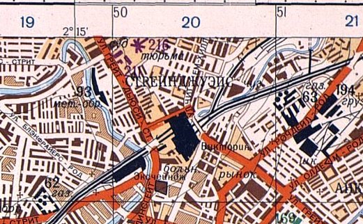
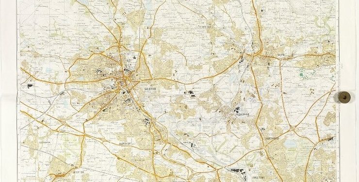
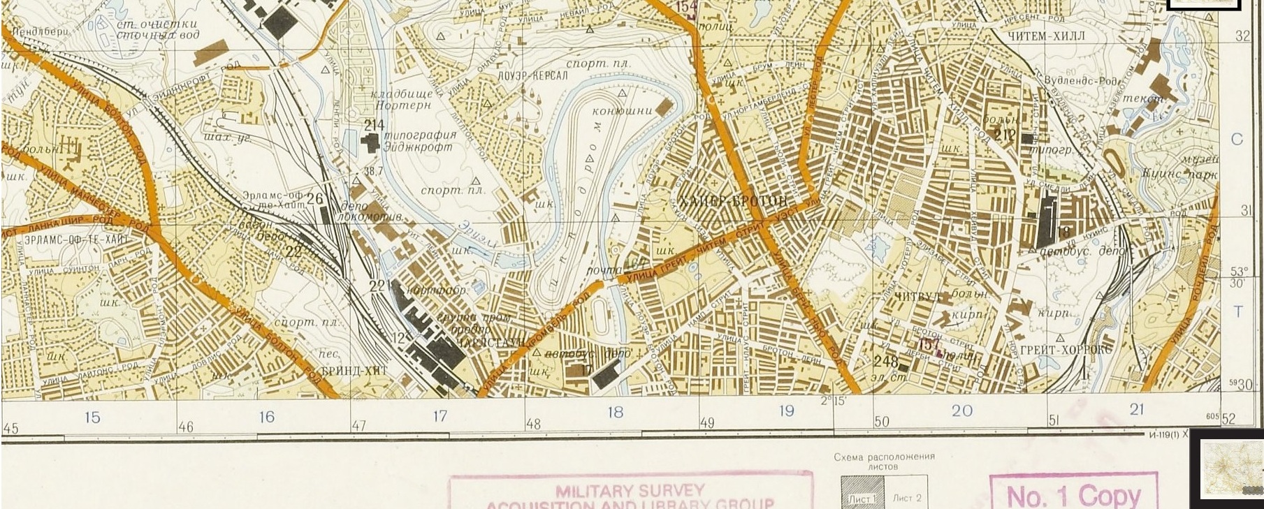
As the Cold War between East and West began to escalate in the 1970s, the Russian military drew up incredibly accurate maps of how its tanks could move around post-invasion, and how its armies could function. Potential tank routes are coloured orange, while important buildings are colour coded – government and communications (purple), military (green), and military-industrial (black).
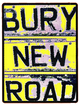
The larger Soviet map shows Ramsbottom, Bury and Bolton, while the cropped-in map shows orange tank routes coming off the M62, turning right and trundling down Bury New Road, with some patrols, perhaps, turning right at John Cooper Clarke’s mum’s home on the corner of Great Cheetham Street.
The maps, compiled from a mix of official maps, spy planes, satellites, road maps and on-the-ground spies, were bought on the open market after they were declassified at the end of the Cold War.
You can see the maps in more detail – click here
